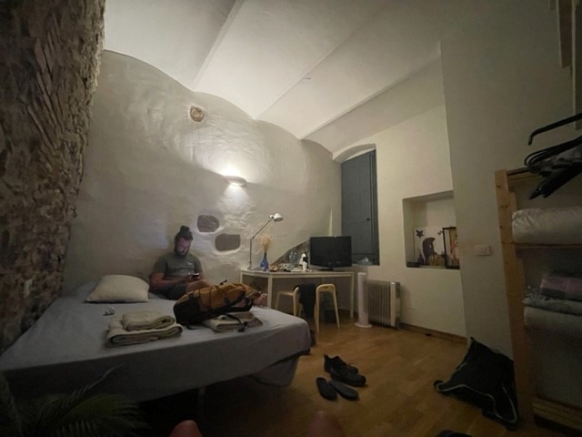
10 July 2022
It was the final day of our little holiday and we were determined not to waste it. With the flight home not being until 8pm, we asked our AirBnB host if we could store our small luggage bag in the hallway until the afternoon and she kindly agreed. We left about 10am for Castell De Sant Miquel, a tower on a hilltop in the middle of a vast, rolling forest. Getting there would involve a 1.5 hour hike that had been recommended to us by one of the people at the bike shop the day before, starting from the middle of Old Town.
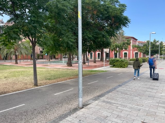
Ascent up Les Gavarres
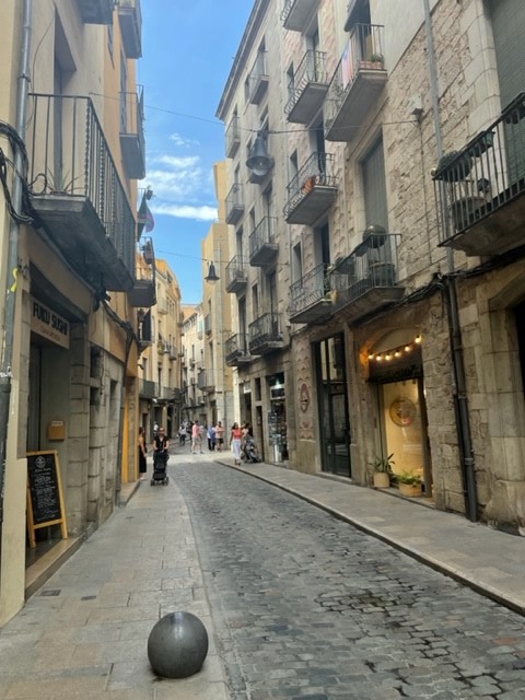
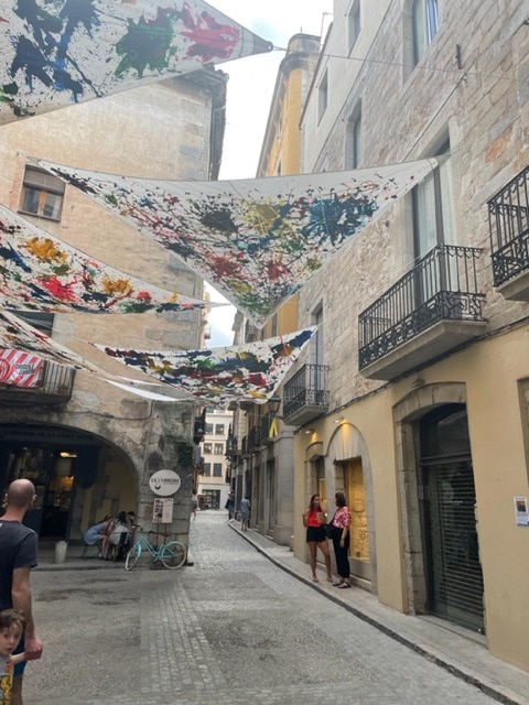
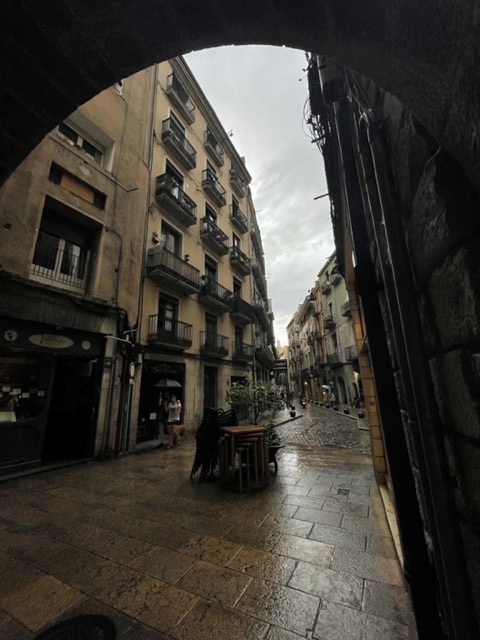
We walked through the quaint streets (I’m nearly done banging on about them), through the castle-like cathedral area, across a narrow dried-up river channel near the pretty John Lennon gardens and east out of the city. Within just a few minutes it felt as if we were in a rural village, walking along a quiet road lined with rustic houses which soon turned to dry, hedge-lined arable fields. After about a mile and a half we reached the edge of the Gavarres massif, a vast range of relatively low mountains covered in a dense forest of oaks, pines and other lush green vegetation, and we took a well-signposted gravel path into the trees, which provided some respite from the relentless sun.


The hike up to the tower was hot but enjoyable and it felt very exotic, given our unfamiliarity with non-British forests. Noisy cicadas filled the air with a constant, croaky hum and I was amazed by how the trees seemed to thrive despite the dry, dusty conditions. We passed a herd of goats rambling casually up a track after a goatherd, stopping to chew on leaves with their tinny goat bells tinkling. The winding, hilly route passed a couple of interesting features, including a tall double column sculpture and the ruins of medieval stone farmhouses with information boards in several languages, and at a clearing in the trees we stopped to look over the distant, sprawling red rooves of Girona backed by layers of hazy blue mountains in the Guilleries massif.


Castell de Sant Miquel
As we approached the top of the hill the gravel path turned to bare, slabby, rooty granite, then levelled out to a flattish plateau. We walked up to the castell, which sits on one of the many summits of the Gavarres. It appeared suddenly through the trees, seemingly out of nowhere, a perfectly square, three-storey stone tower with a set of exterior metal stairs leading up to the entrance on the first floor. Behind it stood the semi-intact remains of a long stone chapel, a section of old wall and a lonely information board that told us in vague terms that the tower was built in 1848 on the remains of a medieval hermitage (religious retreat). As I write this I’m surprised at how little of the history seems to have been recorded – Google offers no substantial results.
We wandered into the crumbled open end of the chapel and along to the intact-rooved end, where a large, rough-edged hole served as a window that perfectly framed the far-reaching views over rolling forest and way out to a smooth, distant sea. A small altar stood looking a little sad in the middle, and the place exuded lonely, slightly mysterious simplicity. We went back to the tower, climbed the steps and popped out on the flat, square roof.
We were prepared for the incredible views because the structures stand in a clearing that allowed us to catch glimpses of distant mountains above the treetops, but we weren’t quite prepared for the overall effect of the totally unimpeded 360 degree panorama that hit us at the top. We looked down on verdant, almost rainforest-like woodland that rolled over undulating hills all around, stretching way out to the south and east in deep green swathes. This gave way to a short length of smooth blue sea that sat in a wide valley between gently rising mountains, which – apart from that little bit of coast – stretched around us the entire length of the horizon in a long, hazy blue chain. Expanses of butter-coloured farmland and little towns formed a mosaic on flat plains and in valleys, and Girona looked strangely small tucked below the highest peaks. It was breathtaking, and so novel compared to the UK landscapes we’re used to.


Hike back to Girona
We walked around the top of the tower, taking it all in, then climbed down the metal stairs and headed back into the trees the way we came. After the rooty granite “steps” we took a right fork to make the route circular, then tramped down a wide, dusty dirt track lined with conifers and birches. After about a mile we crossed a main road and walked back to Girona along a quiet, rolling country lane, past rugged fields, large, spread-out rural houses and lots of trees occupying all the in-between bits of land that hadn’t been otherwise claimed.
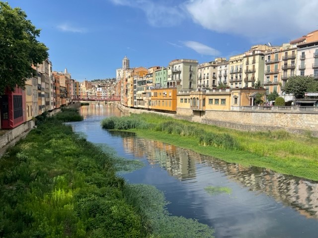
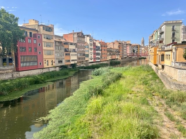
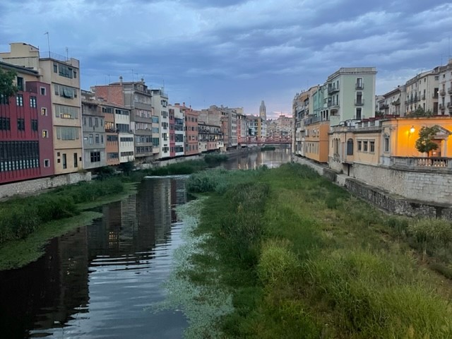
As we neared the city the houses became more packed in but still large, spacious and quite plush-looking. This was clearly a well-off suburb, with clean streets, bright whitewashed walls, lovely views over the distant mountains and a startling number of private pools. We walked down the hill to the medieval area around the cathedral, glad to have squeezed such a lovely walk into our last day, and treated ourselves to a refreshing smoothie from a little shop near the basilica, which we drank overlooking the river.


Homeward bound
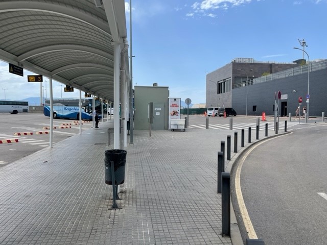
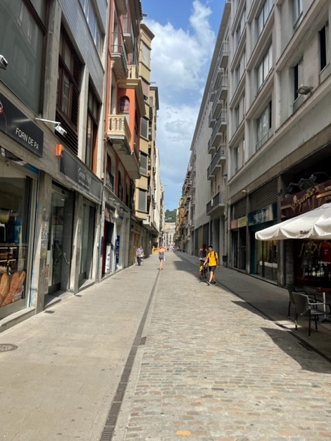
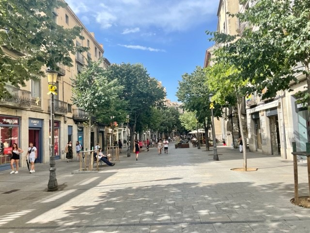
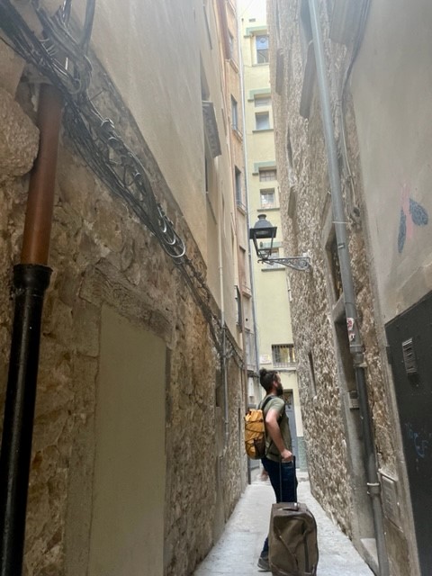
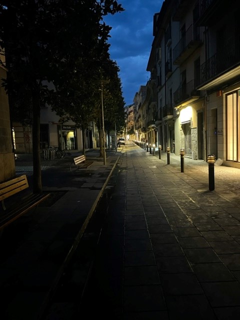
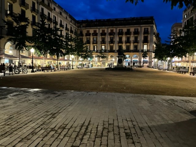
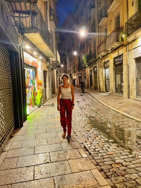
We reluctantly conceded that the holiday was over and walked the cobbles of Old Town one last time to collect our bag from the AirBnb. After saying goodbye to our host we squeezed into the tiny lift, went through the narrow passageway onto Placa del Raims, crossed the bridge and returned to the bus station through the long, straight, less quaint streets to the west of the river. We grabbed drinks and snacks from a tiny convenience store and waited in the air conditioned station for the bus, which was due about 3.30pm. Time dragged, partly due to the our unnecessary earliness and partly due to the Sunday afternoon quietness of the large station plaza, which was beautifully sunny yet eerily quiet and empty.
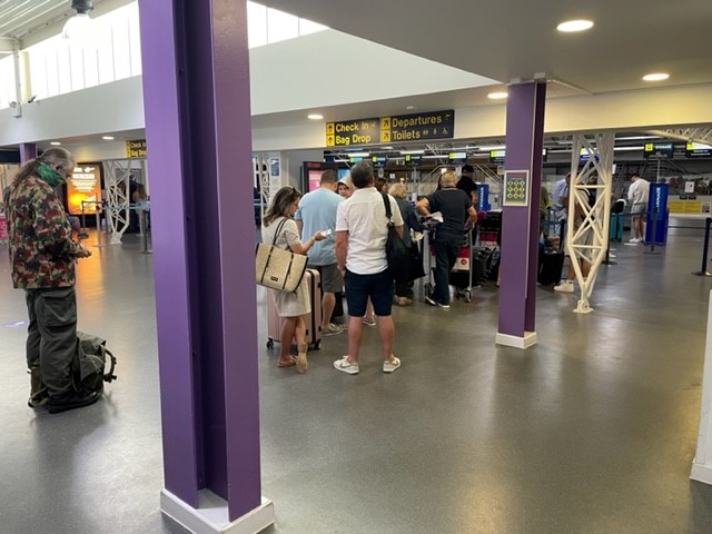
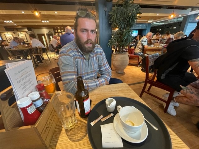
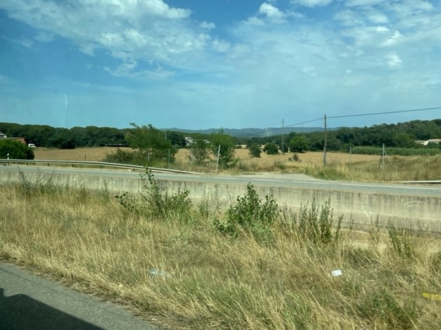
We were lucky to board when we did as the bus driver told us it was cash only, which would have left us stuck if the very kind American in front of us (who we’d already spoken to at the station) hadn’t insisted on paying our fares. As the bus took us out of the city we gazed wistfully over the long streets hectic with signs, overhead cables and shop shutters, then over dusty fields and rustic farms before reaching the airport. We hung around outside for a while, then hung around inside for a while, then finally went through security and reached the great, sprawling duty free / lounge / restaurant bit, which had huge glass windows looking out across hazy blue mountains. It was a nice, small airport, which was a huge relief given that our flight was delayed by an hour. We had a Burger King (Vegan Whopper – delicious) on a small terrace, lamented the end of our little holiday and had an uneventful flight back to Bournemouth.
Girona: 9/10 would recommend. Minus one point due to the citywide absence of triangular sandwiches, but that’s a personal thing.